Arcgis Software
ArcGIS 3D Analyst
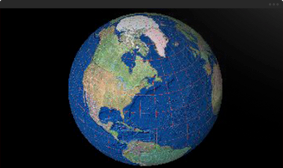
Our world is 3D
Gain a new perspective by visualizing your information in 3D. Use 3D GIS capabilities to address problems that simply cannot be addressed in a 2D context.
Overview
Visualize data in 3D for better understanding
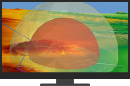
Evaluate the visual impact of proposed buildings on the wider cityscape or assess the visibility and safety of flight paths. Investigate the relationships between 3D features above and below the ground.
Conduct 3D analysis to get the right answers
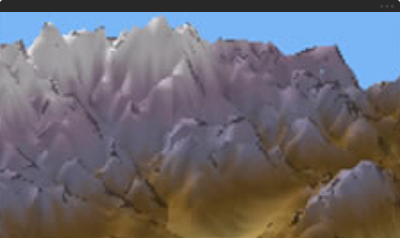
We live in a 3D world and many spatial questions can only be answered in 3D. ArcGIS 3D Analyst comes with true 3D analysis tools that can help you determine the contour, slope, or elevation of a region; the size of the shadow cast by a proposed building; or the geology beneath the surface of an area.
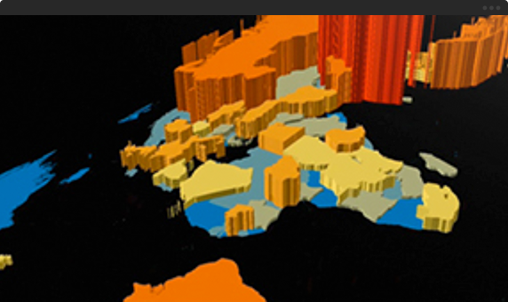
3D-enable geographic data for a whole picture
Quickly generate 3D master plans, and publish and share your 3D scenes with your organization or the public. You can communicate your ideas more effectively in 3D.
Feature
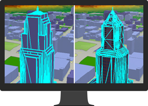
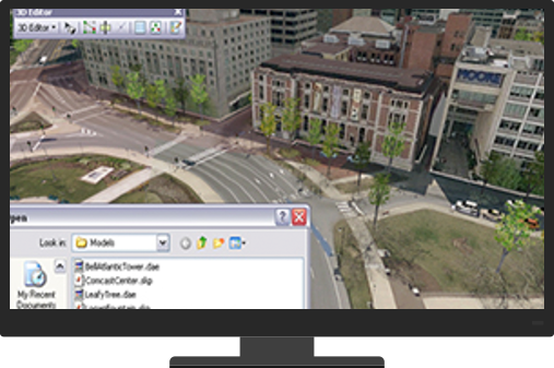
Create 3D data
Use your 2D GIS datasets to create 3D scenarios that can be stored, viewed, and edited in 2D or 3D. You can use attributes, such as elevation, to display the data at a present height; or use attributes to extrude the data. You can also consume rule packages that have been authored in Esri’s city modeling tool, CityEngine.
Visualize your data in 3D
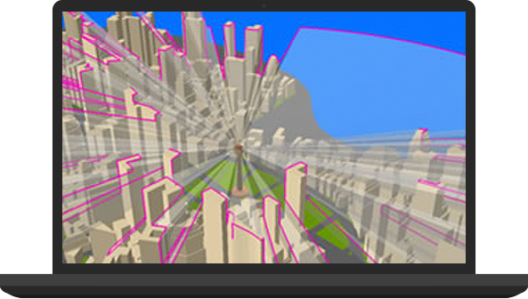
Seeing and interacting with geospatial data in 3D drives insights that just aren’t possible in 2D. Visualize raster, vector, and lidar data for 3D feature, terrain, subsurface, and volumetric views.
Manage your data
Maintain 3D data within a 3D context. All the standard ArcMap editing options—undo, redo, edit templates, etc.—are supported, as is the classic snapping environment.
On-the-fly editing allows you to explore different scenarios, so concepts can be quickly viewed in 3D, evaluated, and refined.
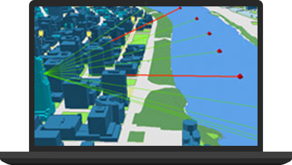
Analyze your data in 3D
Analyze GIS data in true 3D space to save valuable time and cost. Geoprocessing tools give you the ability to perform complex surface, volumetric, and visibility analyses that can include time.
Share your projects
Help decision makers and influencers better understand your work by sharing it in a realistic 3D perspective.
- Capture hi-res screen shots and post, e-mail, or print them for presentations.
- Export video animations.
- Post on ArcGIS Online, other web services, or your website for others to access.
Services


Service ur Laptop or Notebook, PC, UPS, Printer, Scanner, and Other IT Product Here