Arcgis Software
ArcGIS Data Interoperability
Esri supports many data formats to ensure data and product interoperability. Formats include standard KML and GML as well as other widely used formats that are considered standard.
We build the ArcGIS platform to work with multiple data formats. The ArcGIS Data Interoperability Extension enables extract, transform, and load (ETL) for data formats and data models.
Supporting Data Formats
Esri ensures that you can access, use and store GIS data in the formats you already use.
FEATURE DATA
ArcGIS supports all the common feature data formats, including: Geodatabases, Spatial databases, Shapefiles, CAD, JSON, GeoJSON, XML and Web Layers
TABULAR DATA
ArcGIS can expose the spatial data hidden in your tabular data, including: dBase, Microsoft Excel, Access and CSV
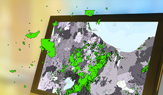
RASTER & 3D DATA
ArcGIS supports 200+ raster and 3D data formats for: Satellite imagery, Aerial photography, Lidar data, JPEG, TIFF, GRIB, HDF, netCDF, LandSat, Worldview and LAS
WEB AND SENSORS
ArcGIS supports many web and real-time sensors, such as: MEA, Sierra Wireless RAP, Trimble TAIP, Instagram, Common Alerting Protocol (CAP), RSS and Twitter
Product Interoperability
Esri provides focused solutions to support your specialised workflows.
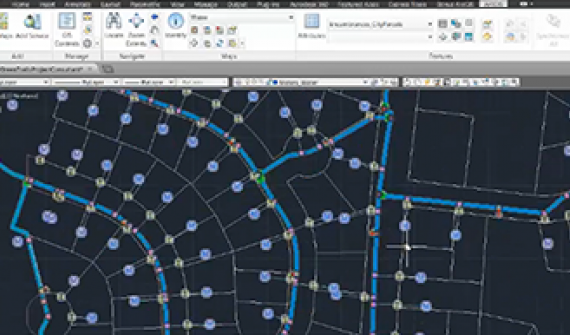
ArcGIS for AutoCAD
Enrich your CAD drawings with maps, background imagery, and geographic features. Edit locally created or imported GIS data within AutoCAD.
SAP HANA
ArcGIS integrated with SAP HANA. Make smarter business decisions and innovate rapidly with location intelligence
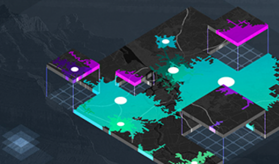
ArcGIS Data Interoperability Extension
Solution to integrate directly with all major GIS data formats.
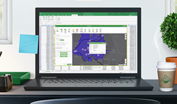
Esri Maps for Office
Bring spreadsheet data to life and use maps to tell your story. ArcGIS Maps for Office integrates ArcGIS with Microsoft Excel and PowerPoint.

ArcGIS Maps for SharePoint
Leverage data from SharePoint lists or data warehouses. Create, display, analyse and share information on interactive maps.

ArcGIS Maps for IBM Cognos
Take business intelligence (BI) to new levels. Integrate smart maps into BI applications for more complete and actionable reports.
Services


Service ur Laptop or Notebook, PC, UPS, Printer, Scanner, and Other IT Product Here